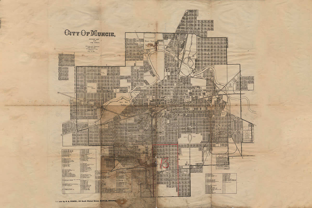
PHOTO CREDIT: 1919 map of Muncie. Image courtesy of Ball State University's Bracken Archive and Special Collections.
When Munseytown was first platted, the village consisted of only a few blocks in the southern part of the Hackley Reserve. Muncie first grew slowly south until, by the end of the 1860s, the city mostly existed between the White River and the Indianapolis & Bellefontaine Railroad. During the gas boom, Muncie exploded in all directions - first extensively south of the tracks, then east, west, and finally north of the river. This included the horseshoe-shaped bend in the White River near what is now the County Fairgrounds, Minnetrista, the Ball family mansions, Central High School, and City Hall.
In the early 1900s, many new additions and neighborhoods were platted as residential suburbs. After the First World War, the Greater Muncie Movement sought to bring these suburbs into city limits. In 1919, Muncie annexed Congerville, Normal City, Riverside City, Whitely, Avondale, Northview, and Boyceton. Throughout the 20th century, Muncie continued to expand through annexation as new suburbs, platted additions, and unincorporated hamlets became part of the city.

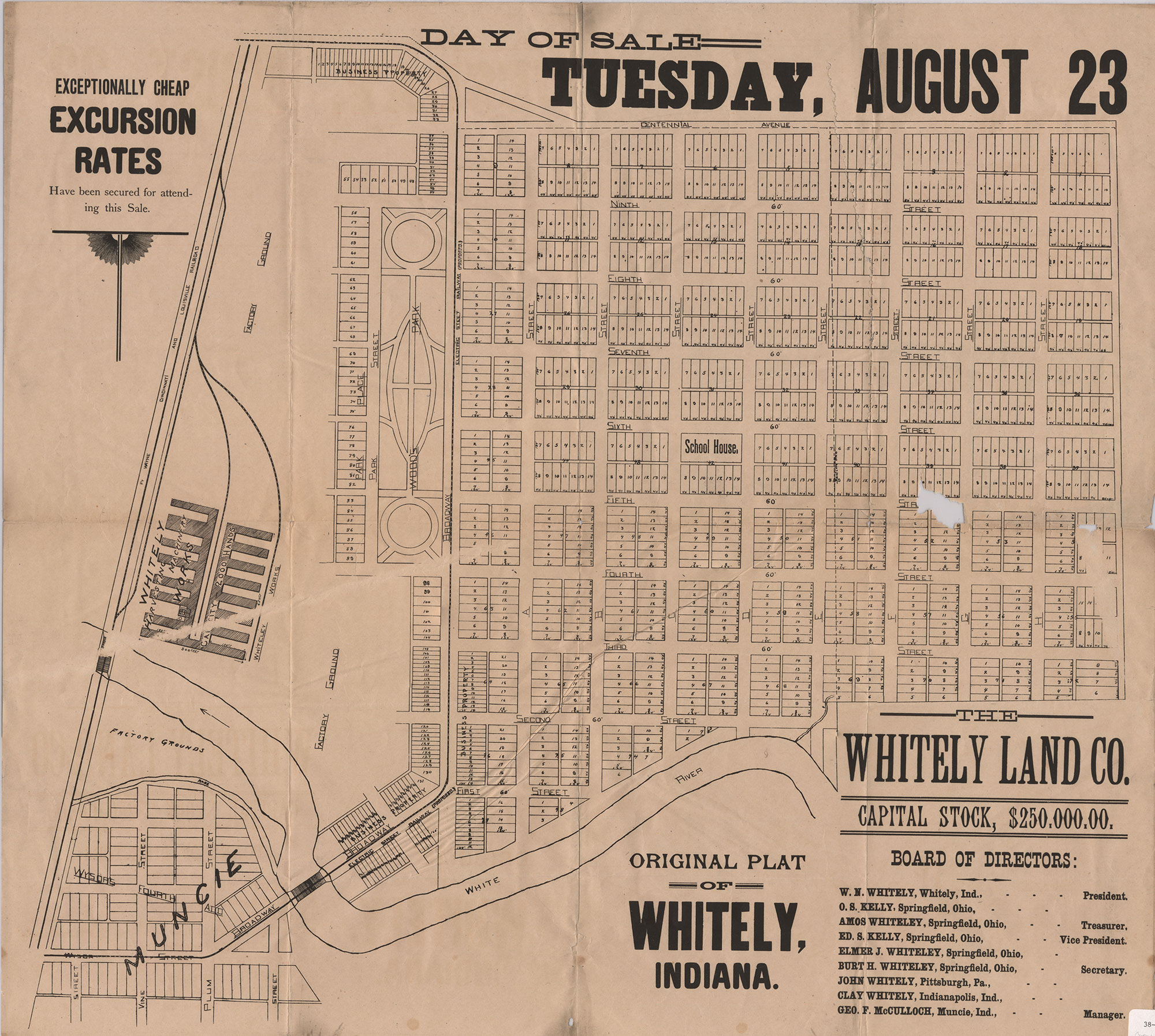
PHOTO CREDIT: 1892 Promotional Whitely Plat Map used for the first public land auction. Photo courtesy Ball State University's Bracken Archive and Special Collections.