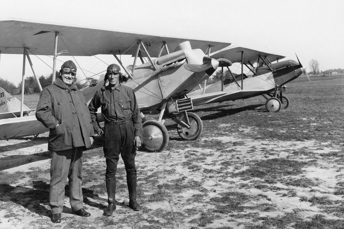
Wall/Hackley Field, E. Basham and O. Sacksteder, standing, date unknown. Image courtesy of Ball State University’s Archive and Special Collections.
For thousands of years, a network of Native American overland exchange routes existed throughout what is now east-central Indiana. In time, several of these passages became the main roads leading into and out of early Delaware County. As populations grew, new dirt roads connected the small county agricultural settlements to Muncietown. These roads were replaced with wooden plank roads, which quickly proved just as unreliable as those made of dirt. In the 1860s, the state chartered companies to build gravel turnpikes for a larger regional transportation network.
Residents also planned for a canal in the 1830s that was envisaged to connect Muncie with Indiana’s larger Central Canal network. The canal never materialized, but railroads did. The Indianapolis & Bellefontaine Railroad arrived in 1852, followed by the Fort Wayne, Muncie, and Cincinnati lines in 1869, and the Lafayette, Bloomington, and Muncie in 1876. Around 1900, an inter-city system of electrical passenger trains, the Interurban, connected most of central Indiana, while electric trolley lines networked Muncie’s expanding neighborhoods. As cars became the predominant mode of transportation in the 20th century, both trolleys and the Interurban were abandoned for asphalt roads and highways. Aviators also established several airfields in the area including Wall Field, Silver Fox Field, Johnson Field, Reese Airport, and Selma Airport.

Muncie Street Railway tracks at the Corner of Walnut and Main, 1905
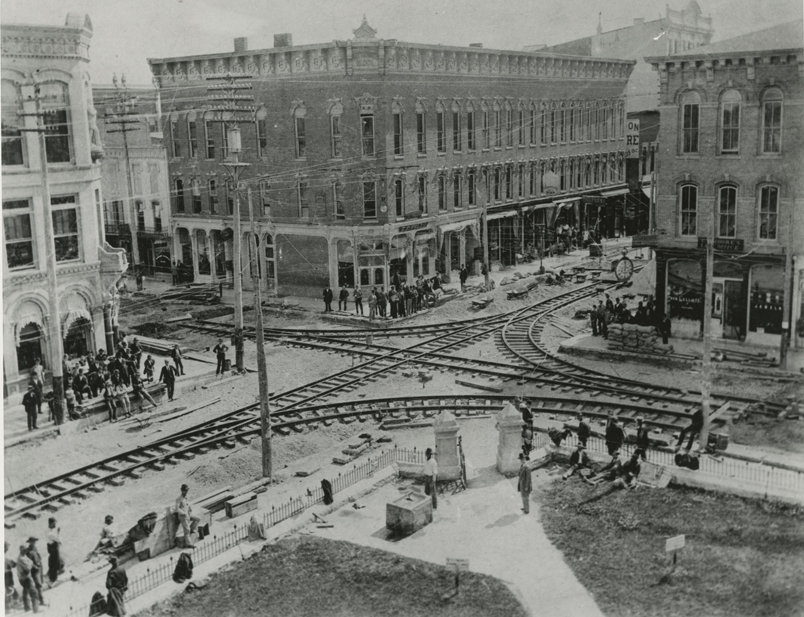
Image courtesy of Ball State University's Bracken Archive and Special Collections.
Muncie Union Traction Streetcar, circa 1900
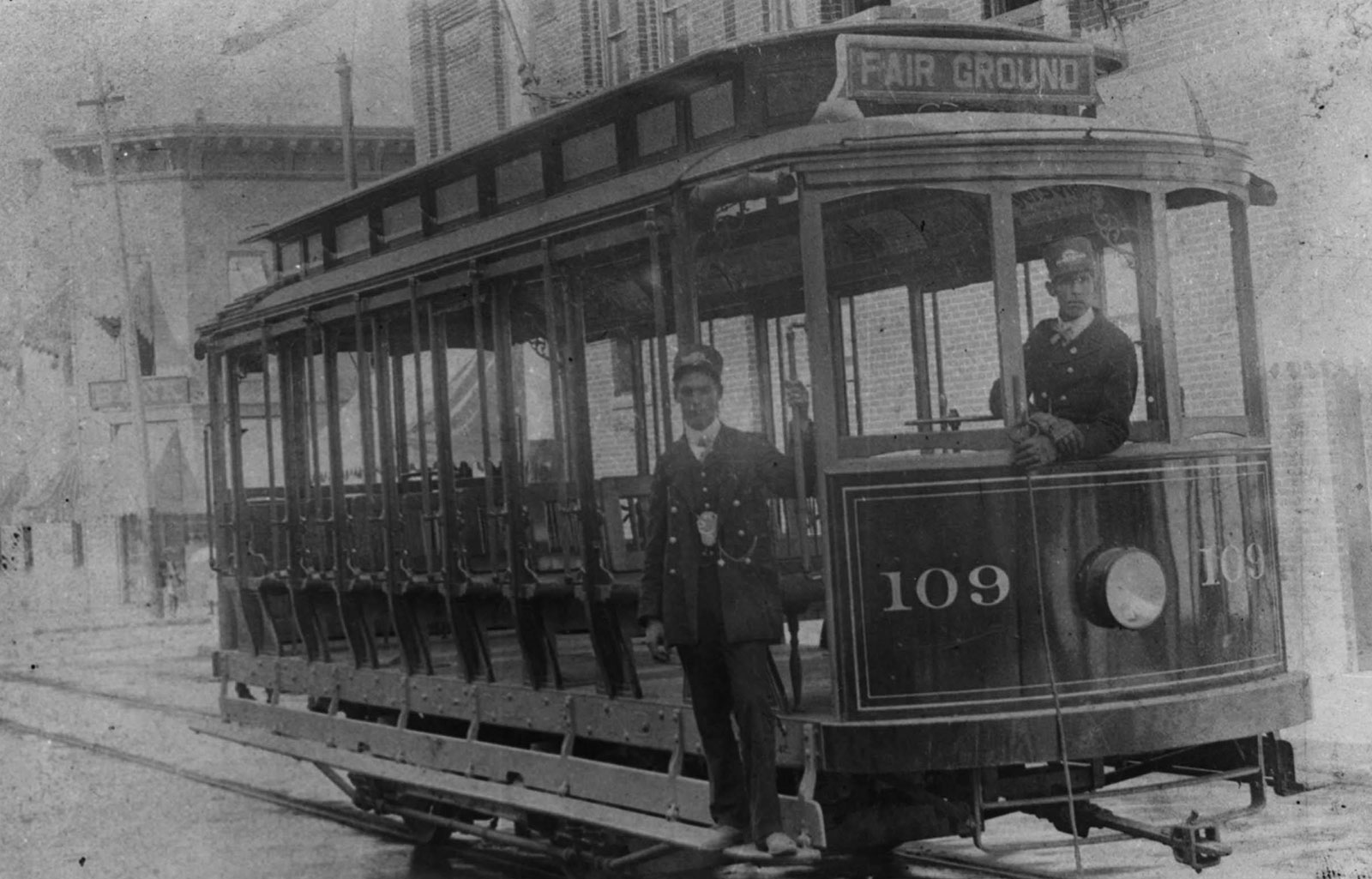
Image courtesy of Ball State University's Bracken Archive and Special Collections.