Some of Indiana's oldest towns grew up along
the Ohio—Lawrenceburg, Vevay, Madison and Jeffersonville,
to name a few—and many of these river towns were among
the state’s largest. In fact, in the 1850s, two of
Indiana’s most populous cities were in the southeast:
New Albany, the most populated, with nearly 8,200 residents;
and Madison, third, with just over 8,000. A few miles away
from the Ohio River, at the far western edge of this region,
is Corydon, a small town that was Indiana’s first
capital.
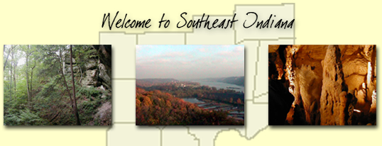
Unlike the rest of the state, southeastern
Indiana was untouched by the glaciers of the ice age, leaving
a hilly and subtle, yet dynamic, landscape. While the topography
appealed to many Kentucky immigrants who found the land
comfortably familiar-looking in the 1800s, they soon found
that the soil in the western part of the region was relatively
poor for farming.
Today, much of the land has been cleared for
agricultural use, but the sometimes rocky terrain has allowed
the region to retain much of its deciduous forest
cover, including that in the Hoosier National Forest.
Pertinent ecosystems
Rivers
Forests
Relevant environmental terms/issues
Agriculture
Air pollution
Deforestation/habitat
destruction
Urban
sprawl
Water
pollution
Related Authors
Eunice Beecher
Charles C. Deam
Edward Eggleston
George Cary
Eggleston
Jessamyn West
|