Brightfield for the Bright Future
Project Narrative
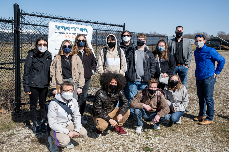
In Spring 2021, ten second-year urban planning major students in PLAN 203 Regional Analysis and Design of Ball State University conducted solar potential analysis for brownfields in Muncie, Indiana. In collaboration with Sierra Club Hoosier Chapter with the generous support from Ball State University’s Immersive Learning Office, students applied Geographic Information Systems (GIS) to study the ownership of the brownfields, current land use and zoning ordinances, preexisting conditions, and then analyzed solar PV potentials using publicly available PV watts tool developed by the US Department of Energy.
Students specifically focused on the reuse of brownfields for solar PV installation. The brownfield is a previously developed land that the expansion, redevelopment, or reuse of which may be complicated by the presence or potential presence of hazardous substances, pollutants, or contaminants (US EPA, 2021). As a result of GIS-based land-use study, ownership study, solar potential analysis, and land suitability analysis, students identified six brownfield sites in Muncie, Indiana for potential solar PV installation. Together with brownfields, students also analyzed the solar PV potentials for city-owned facilities including fire stations and Muncie Sanitary District facilities. As a result, students selected two fire stations and two of Muncie Sanitary District’s water treatment facility sites.
The result of this project was presented at the American Association of Geographers’ annual meeting, the American Planning Association’s national planning conference, and BSU’s Immersive Learning Showcase.
The studio consisted of ten second-year urban planning students under the guidance of assistant professor of urban planning Dr. Sanglim Yoo.
