Landuse, Ownership, and Solar Potential Analysis
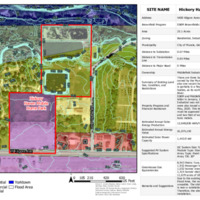
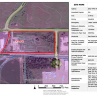
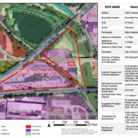
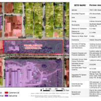
Land Use, Ownership Study, and Solar Potential Analysis
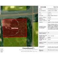
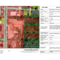
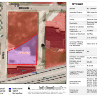
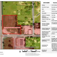
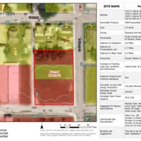
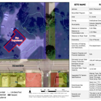
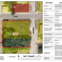
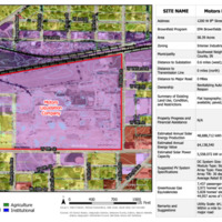
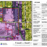
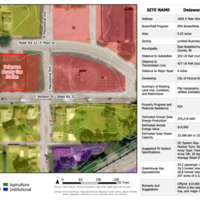
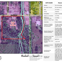
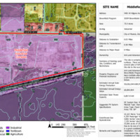
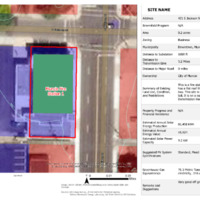
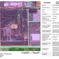
To compile the characteristics of each brownfield site or city-owned facility in Muncie, and to analyze each site’s potential for a solar installation, the studio analyzed twenty-two brownfield sites, ten fire stations, and three Muncie Sanitary Districts facilities. With the application of Geographic Information Systems (GIS), the students collected attributes from public data portals including Delaware County Beacon, US Census Bureau, US Census’s TIGER database, and Indiana Map. These attributes include address, brownfield program, total acreage, zoning, municipality, distance to a substation, transmission line and a major road, current land and property ownership, land use and the current condition of each site, restrictions, and history of property clean-up progress and financial assistance. Using the US Department of Energy (DOE)’s PV Watts tool, the studio calculated annual solar energy production potential, estimated annual energy value, and estimated solar power capacity, and specified suggested PV system specifications. Finally, using US EPA’s greenhouse gas equivalency calculator, students also calculated comparable measures for the solar energy production potentials.
The following maps and analysis tables summarize the works of students. All of the maps were created in ESRI’s ArcGIS Pro software following the common design criteria shared by the studio, and information was compiled in Adobe Illustrator.