Data Management

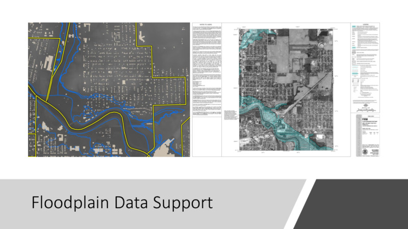
The first step in data management for this course was to acquire as much geographic data as possible to support any potential research / production paths. This resulted in 130GB of data and imagery from three primary sources (IndianaMAP, Indiana University, and Ball State University). Throughout the project, the data manager sourced several data layers and historic map products to facilitate group work. The last point of mention would be the processing of data spreadsheets into geographic data for mapping utility.
Click through to view powerpoint.