Method
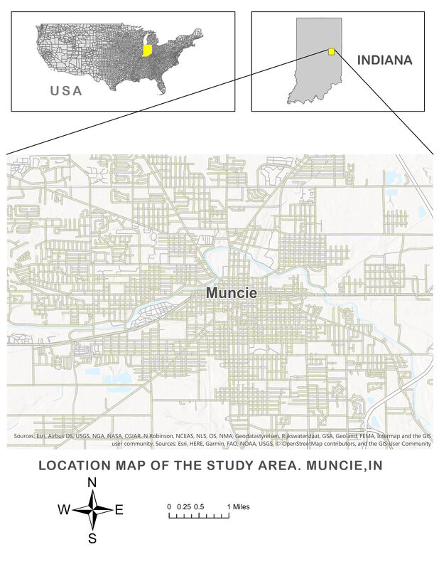
GIS Map Preparation. The study utilizes datasets from the United States Census, United States Department of Agriculture Economic Research Service, Delaware County Office of Information & GIS services, and IndianaMap to generate GIS maps for poverty, housing, parks, and industrial areas in Muncie, Indiana.

